Precision Topographical Surveys – Mapped by Your Trusted TopoCrew
Unlock the potential of your projects with our advanced topographical surveys, utilizing state-of-the-art drone and LiDAR technology for precision mapping and analysis.

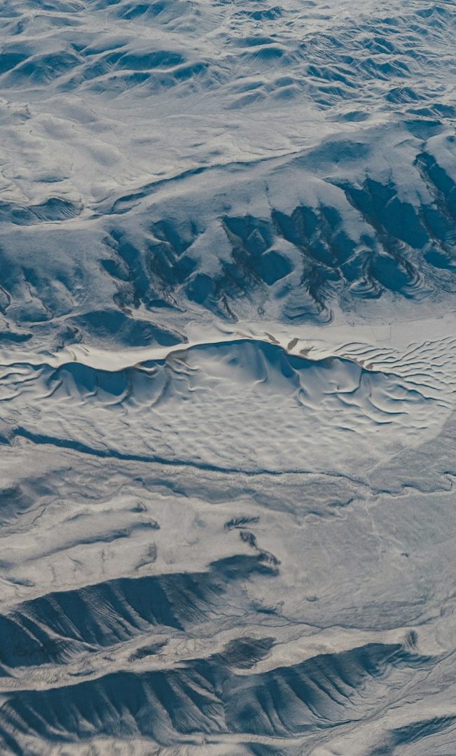
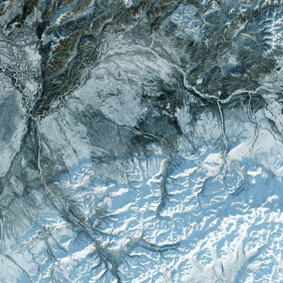
Precision Mapping for All Terrains
Your Trusted Partner in Topography
At Dimarkgeo, we specialize in delivering high-quality topographical surveys tailored to your unique needs.
Our team of experts combines innovation with local knowledge to ensure exceptional outcomes.
Explore our services and discover the difference.

Our Expertise
Explore why we're the go-to choice for topographical surveys in the UK. From advanced technology to trusted expertise, we have it all.
Drone & LiDAR-Powered Accuracy
Utilizing cutting-edge technology for unmatched precision in topographical surveys.
Fast Turnarounds, Any Terrain
Providing swift results, regardless of the landscape you’re surveying.
UK-Wide Coverage, Local Expertise
Offering extensive coverage across the UK with knowledgeable local professionals.
Trusted by Top Clients
Partnering with notable construction firms to deliver trusted survey data.
1500
Projects Completed
300
Clients Served
5
Countries Covered
Get in touch
Telephone: 7961908218
E-mail: info@dimarkgeo.co.uk
Address: 58 ilford Lane, London, IG1 2JY, London, City Of, United Kingdom